 |
| The "Arch" in St Louis, seen from the Mississippi River. |
We left Grafton Harbor, which was the end of the Illinois River to start our Mississippi River segment with buddy boats. Nobody wanted to do this stretch of the river solo. With the recent rains, the Mississippi was near to flood stage and there was a lot of debris both visible and not so visible! We all felt there was safety in numbers... even if we spread out during the day (we traveled at different speeds to maximize fuel consumption) we all knew where we would meet/anchor that evening. It was fun to have our little coord meetings to discuss the best options. During the day, those that traveled fastest, would let those behind know of any hazards or upcoming barge traffic. Everyone had to be on high alert/lookout, and we all kept an ear open to any radio transmission from our boating group/fleet.
 |
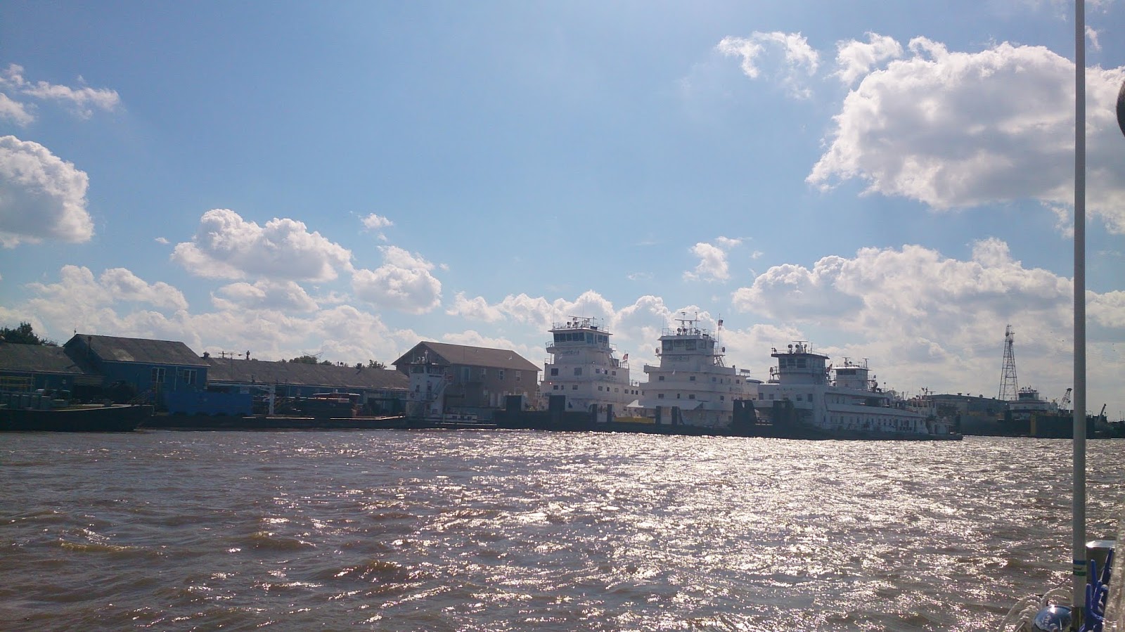
| Barges |
 |
| Tourist paddle boat |
 |
| It was the size of a telephone pole! |
As the smallest boat of our little fleet, a few of our fellow boaters were worried on how battered we would get on the Mississippi. The tow barges going up stream created waves behind them of more than 5 to 6 feet! And the disturbance/turbulence they caused was felt quite the distance behind them too. We are happy to say, that the boat handled it well, (thanks to the great skills of Papi) and all of our dishes survived. When we compared stories/days experiences with the others, they found the day just as stressful as us and they got tossed around just as much.
Our stops along the Mississippi River were: Hoppie's Marine Service, Kimmswick, MO; Kaskaskia River Lock & Dam, Il; and Little Diversion River near Cape Girardeau, MO. With, what we've been calling the "Mississippi push" (the downstream current), we all made great mileage for fuel. Most of us gained about 5 miles per hour.
 |
| Fellow Loppers at Hoppie's |
 |
| Docked at Hoppie's |
 |
| Along the Mississippi |
 |
| Tied up at Kaskaskia Lock and Dam |
 |
| Almost to the Ohio River |
Once we got to height of the city of Cairo, MO, we turned east to go up the Ohio River. Our only stop on this river was Paducah, Kentucky at the new (as of 2017) municipal marina. We were all going against the current now, and it really affected our speed and fuel consumption. Ouch, we lost about 3 miles per hour and we were hardly making any progress... We ended up going on plane (going fast) to ensure we had enough fuel to make it to the marina. The stretch between Hoppie's and Paducah is the longest stretch without possibility to refuel... just a bit to add to the stress of playing dodge the logs and stay out of the way of working barges.
 |
| Paducah Municipal Marina |
From the Ohio River, we headed to the Cumberland River where we had one lock, the Barkley Lock & Dam, to go up. The Cumberland was a nice surprise, there was almost no debris here, and even though we were still going against the current (up stream) we where able to go at our normal easy (slow) pace.
Once trough the lock, we were in Barkley Lake where we stayed at the Green Turtle Bay Marina (near Grand River, KY) for five nights.
 |
| Happy to be here after the last crazy days! |
 |
| In Grand River you have to visit Patti's Settlement |
 |
| We rented a golf cart from the marina to come watch the "Hunters Moon" parade |
 |
| Carved pumpkins on display |
The weather was going to be rainy and cold for a few days, and after having just done the Mississippi and Ohio Rivers, we were due for a bit of R&R. Because, we are not going to lie, that stretch of the loop, we could have done without!!! The logs, trees, and tow barges were very hard on our nerves... And what could be more relaxing than taking advantage of courtesy cars, rental golf carts or renting a car and doing a road trip to Nashville Tennessee (since we were in the area!)
See separate post on our road trip to Nashville,
Road Trip to Nashville!
Tina & Papi
"In life, it's not where you go, it's who you travel with"
– Charles Schultz


Comments
Post a Comment